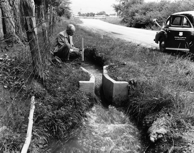
In 1903 Colorado passed a law requiring
Three years later, the State Engineer’s office published a booklet explaining the requirements for filing maps and statements under the 1903 law. This publication, available in digital format, explains in detail all of the specific requirements for maps, including size, scale, type of paper, and even type of ink (it had to be waterproof). It then explains how the map should be titled, and information it should include — such as locations of headgates, ditch depth, carrying capacity, estimated construction cost, and the claimant’s signature. Then, it gives the form for a statement which must be submitted with the map.
This publication can be very helpful to researchers who are looking at century-old filing maps, as a key to the information they provide. It is also a valuable look at policies and procedures for establishing water rights in the early twentieth century. For more publications on water rights, search our library’s web catalog.


- How to Spot the Differences Between Eagles and Hawks - August 16, 2021
- How Transportation Projects Help Tell the Story of Colorado’s Past - August 9, 2021
- Time Machine Tuesday: The Night the Castlewood Canyon Dam Gave Way - August 3, 2021